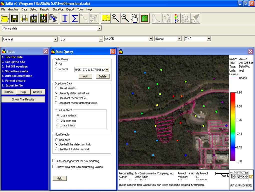
Spatial Analysis and Decision Assistance (SADA)
Developed for the United States Environmental Protection Agency and the United States Nuclear Regulatory Commission SADA is free software. The tools within the SADA model include integrated modules for visualisation, geospatial analysis, statistical analysis, human health risk assessment, ecological risk assessment, cost/benefit analysis, sampling design, and decision analysis. The capabilities of SADA can be used independently or collectively to address site specific concerns when characterising a contaminated site, assessing risk, determining the location of future samples, and when designing remedial action. A freeware version is available from http://www.tiem.utk.edu/~sada/index.shtml. SADA is developed in The Institute for Environmental Modeling at the University of Tennessee. |
|
